Services

Hydrological studies analyze the distribution, movement, and quality of water in Earth's hydrosphere, integrating meteorology, geology, and environmental science. They model water cycles, predict water availability, assess climate change impacts, and help manage resources and plan sustainable development, ensuring community and ecological resilience.

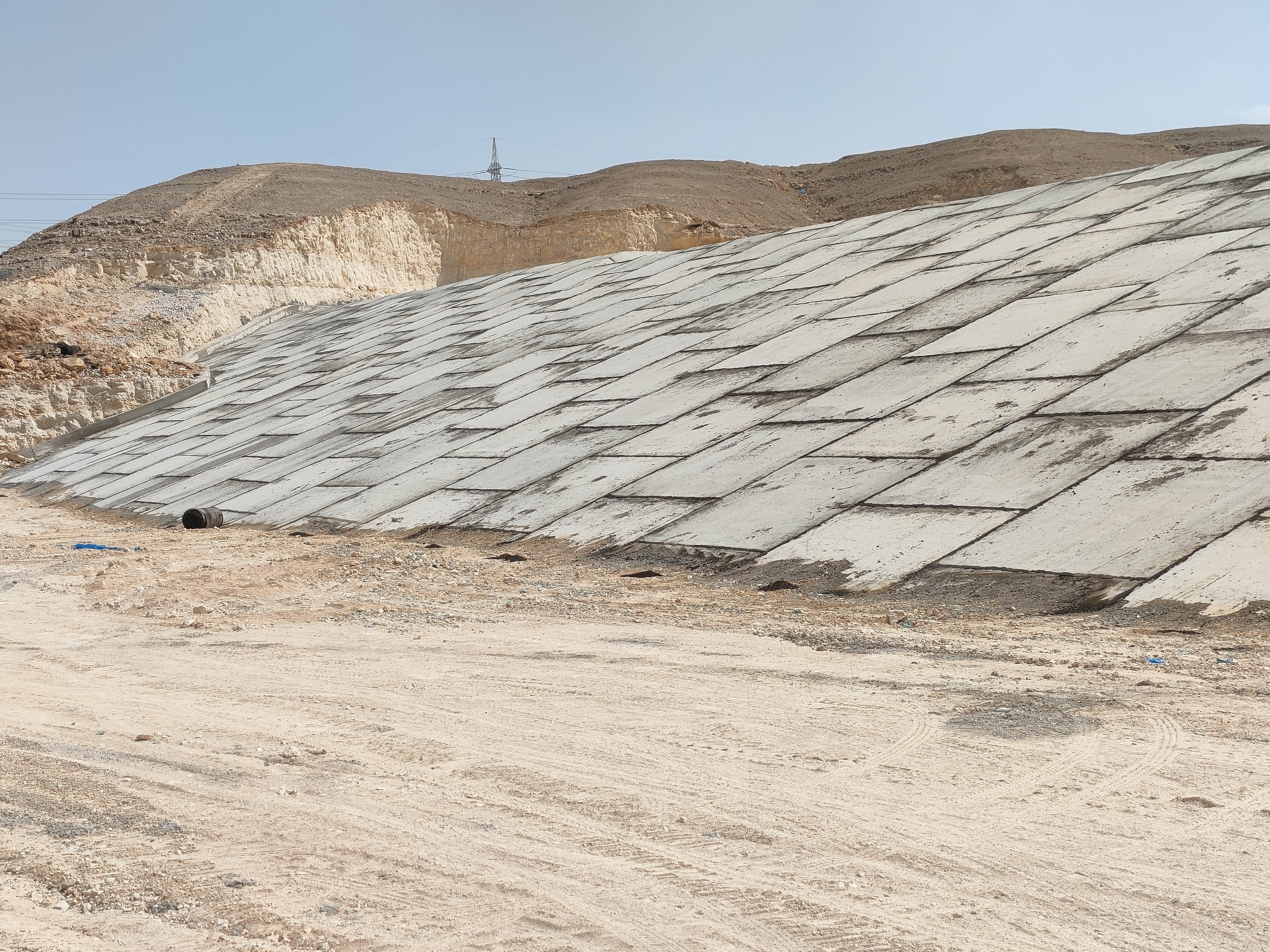
Flood Risk Assessment & Mitigation involves identifying flood hazards, assessing risks, and implementing strategies to reduce their impact. This includes analyzing historical data and topography to find vulnerable areas. Mitigation may involve structural measures like levees and non-structural approaches such as zoning and early warning systems. Community education is crucial for effective response.

Dam studies focus on the design, construction, and maintenance of dams, ensuring their safety and efficiency for water storage, flood control, and power generation. These assessments help prevent failures and optimize the dam's performance, contributing to effective resource management and safety.

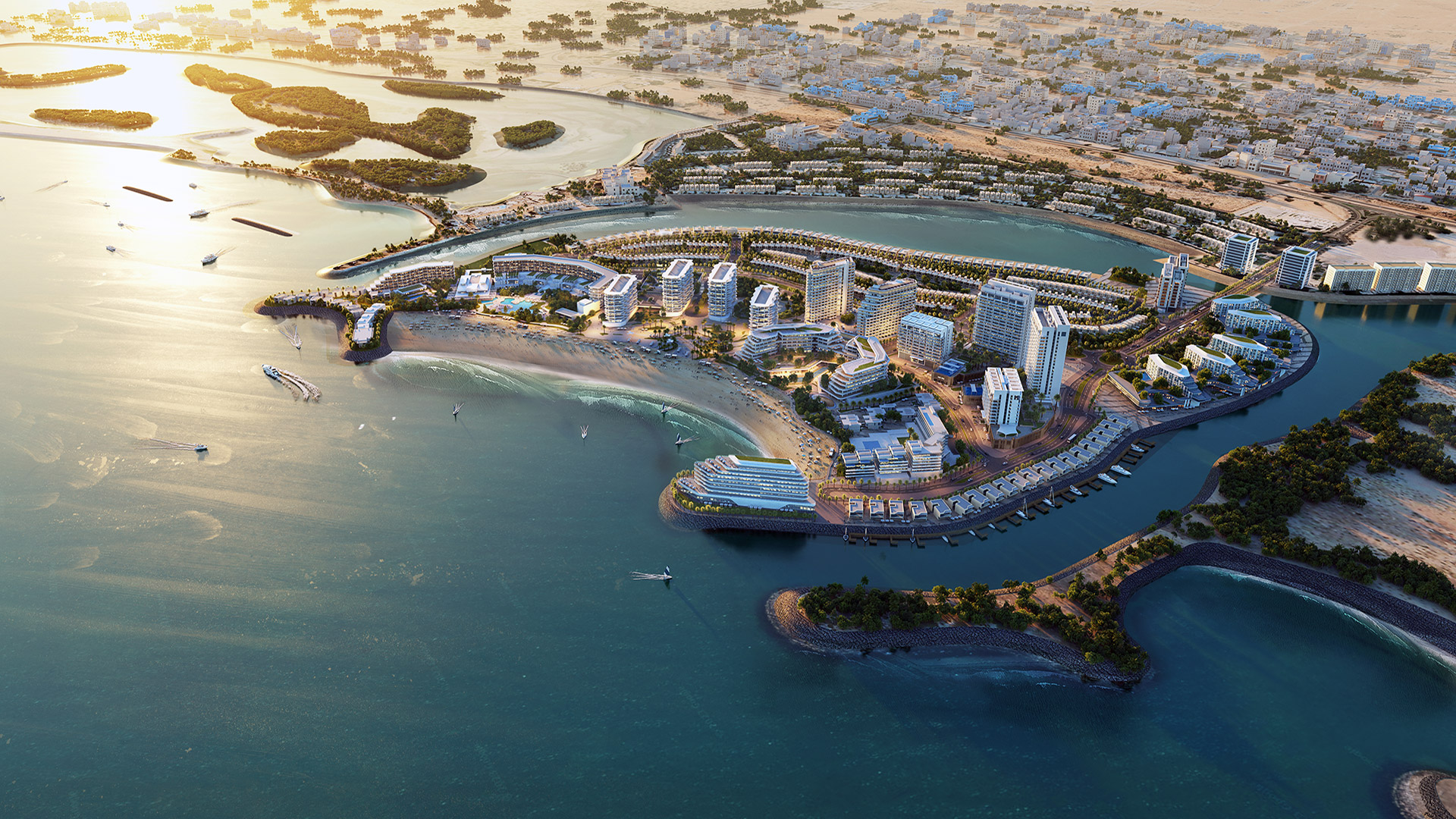
Coastline equilibrium is the balance between sediment deposition and erosion, vital for coastal stability. To protect coastlines, measures like groins, detached breakwaters, and jetties are used. Groins trap sand, breakwaters dissipate wave energy, and jetties control sediment at river mouths, ensuring shoreline stability and navigation.

Marine design involves creating structures like breakwaters, floating pontoons, and jetties to protect coastlines, provide docking platforms, and support waterfront operations. Designing navigation channels ensures safe ship passage through waterways. These elements are crucial for the safety, efficiency, and functionality of maritime activities.

Hydrodynamic studies of lagoons focus on understanding water circulation, flushing times, and how factors such as tides influence water depth. Recent systematic studies have examined artificial lagoons to provide insights into these dynamics, revealing that tidal actions significantly control water depths and circulation patterns.

A potable water network consists of pipes, pumps, storage tanks, and treatment facilities designed to deliver clean, safe drinking water. It ensures water meets quality standards and requires effective maintenance and monitoring to prevent contamination and address issues. Advanced technologies like real-time sensors enhance its efficiency and reliability.

A sewage network collects and transports wastewater from various areas to treatment facilities. It consists of pipes and tunnels, often including pumping stations to manage flow and elevation. Advanced monitoring and maintenance ensure efficiency and durability, making the system essential for urban sanitation, public health, and environmental protection.

A firefighting network includes fire alarms, sprinklers, hydrants, and extinguishers, all crucial for managing fire emergencies. It involves trained personnel with specialized tools and protective gear. Advanced technologies, like remote sensors and real-time communication, enhance efficiency. This network is vital for preventing loss of life and property during fires.

An irrigation network distributes water to agricultural fields to ensure crop growth. It includes canals, ditches, pipes, and sprinklers, optimizing water use, especially in areas with low rainfall. Advanced systems use sensors and automation for precision and efficiency, minimizing water wastage and supporting sustainable farming and food security.

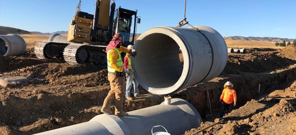
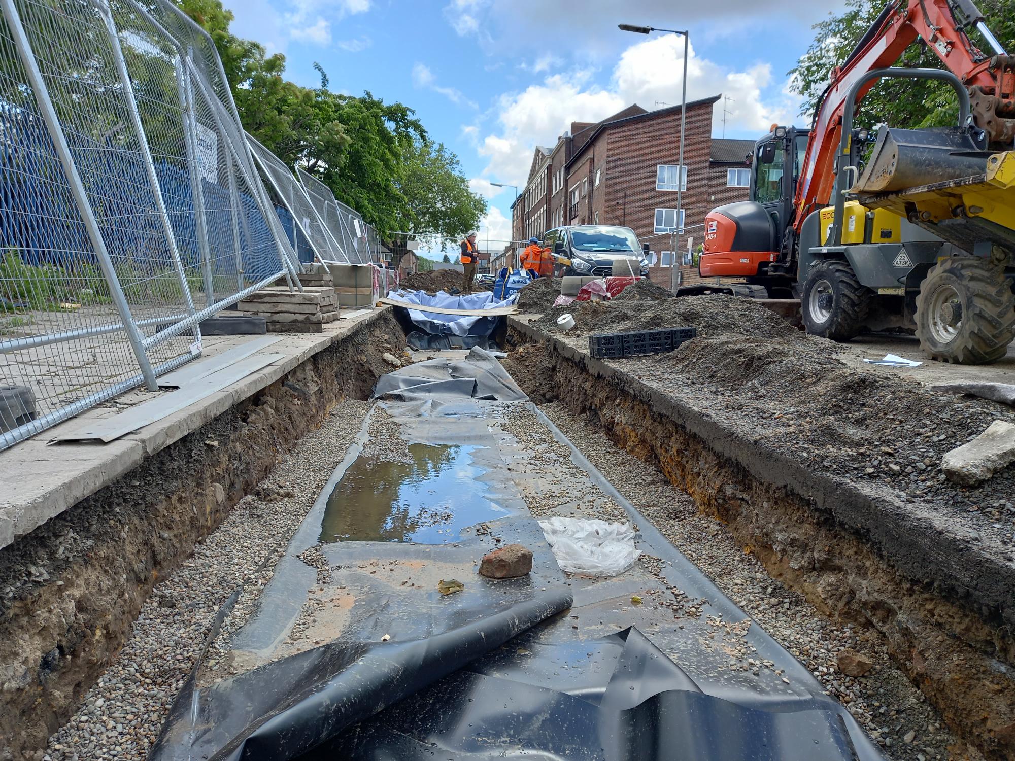
A storm drainage network is an essential infrastructure system designed to manage and redirect excess rainwater and runoff away from urban and suburban areas. This network typically consists of interconnected pipes, channels, culverts, and catch basins that work together to prevent flooding and waterlogging, thereby protecting properties and roads. By efficiently channeling stormwater to safe discharge points like rivers, lakes, or artificial detention ponds, the system minimizes the risk of water-related damage and erosion. Proper maintenance and periodic updates are crucial to the performance of a storm drainage network, especially in areas experiencing rapid urban development or changes in climate patterns. Effective stormwater management through such networks is key to sustainable city planning and environmental conservation.

An electrical network is a system of interconnected components like resistors, capacitors, and voltage sources, designed to manage power or signals. These networks are essential in power distribution and electronics, enabling efficient energy flow and device communication. Engineers use circuit theory and techniques to ensure reliability and efficiency in these systems.

Hydrological studies analyze the distribution, movement, and quality of water in Earth's hydrosphere, integrating meteorology, geology, and environmental science. They model water cycles, predict water availability, assess climate change impacts, and help manage resources and plan sustainable development, ensuring community and ecological resilience.

Hydrological studies analyze the distribution, movement, and quality of water in Earth's hydrosphere, integrating meteorology, geology, and environmental science. They model water cycles, predict water availability, assess climate change impacts, and help manage resources and plan sustainable development, ensuring community and ecological resilience.

Hydrological studies analyze the distribution, movement, and quality of water in Earth's hydrosphere, integrating meteorology, geology, and environmental science. They model water cycles, predict water availability, assess climate change impacts, and help manage resources and plan sustainable development, ensuring community and ecological resilience.

A subsurface and excess irrigation network optimizes water use and enhances crop yields. Subsurface irrigation delivers water directly to plant roots via buried pipes, reducing evaporation and runoff. Excess irrigation components manage surplus water with drainage systems to prevent soil saturation. This approach ensures precise moisture levels, improving agricultural efficiency.

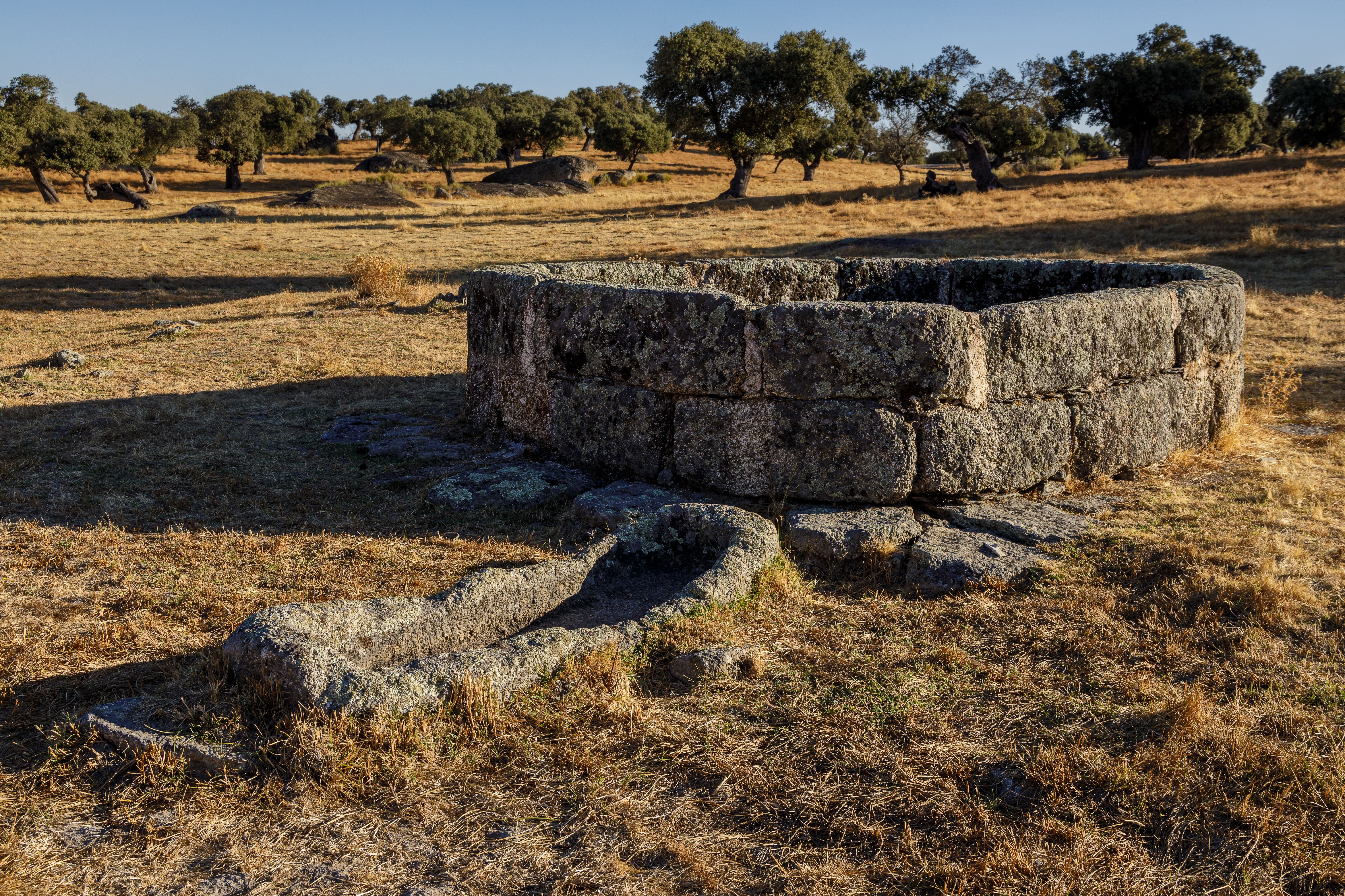
A groundwater assessment evaluates the quantity and quality of groundwater in an area. It involves collecting and analyzing water samples to detect contaminants and measure physical and chemical properties. Techniques include hydrogeological mapping, aquifer testing, and GIS. This assessment informs water resource management and ensures a safe water supply.

Dewatering is essential in construction and mining for removing groundwater or surface water from a site. It creates a dry and stable environment, preventing hazards and ensuring structural integrity and worker safety. Common methods include pumps, well points, and drainage techniques, which aid excavation and foundation work, maintaining project efficiency and success.

Contaminant transport is the movement of harmful substances through air, water, and soil, occurring naturally or through human activities. Factors influencing this process include the properties of contaminants, the medium they travel through, and environmental conditions. Understanding this transport is essential for assessing risks, predicting pollutant spread, and developing effective remediation strategies.

Saltwater intrusion occurs when saline water enters freshwater aquifers, often due to excessive groundwater withdrawal or rising sea levels. This intrusion contaminates drinking water and agricultural resources, especially in coastal areas. Effective management, sustainable water extraction, and strategic planning are crucial to mitigate the impact and protect freshwater reserves.

Seepage analysis assesses the movement of water through soil and structures, crucial for evaluating stability and preventing damage. It involves measuring water flow and pressure to detect potential issues like erosion or instability. Accurate analysis ensures the integrity of foundations, embankments, and dams, supporting safe and effective construction and maintenance.

A pumping test analysis evaluates an aquifer's hydraulic properties by pumping water from a well and monitoring drawdown in both the pumping and nearby observation wells. This data helps estimate transmissivity, storativity, and hydraulic conductivity, crucial for groundwater management and sustainable resource planning. It also reveals impermeable layers and aquifer behavior.

A GIS database is a structured collection of spatial and attribute data used to store, manage, and analyze geographic information. It integrates various data types, such as maps, satellite images, and survey data, enabling users to visualize, query, and interpret spatial relationships for decision-making in fields like urban planning, environmental management, and infrastructure development.

BIM is the process of preparing a 3- dimensional digital representation of a building and its elements incorporating physical and functional information with respect to BIM project requirement.
BIM Levels of Development (LOD) 300, 400, and 500 define the detail and accuracy of a model.

Construction Supervision

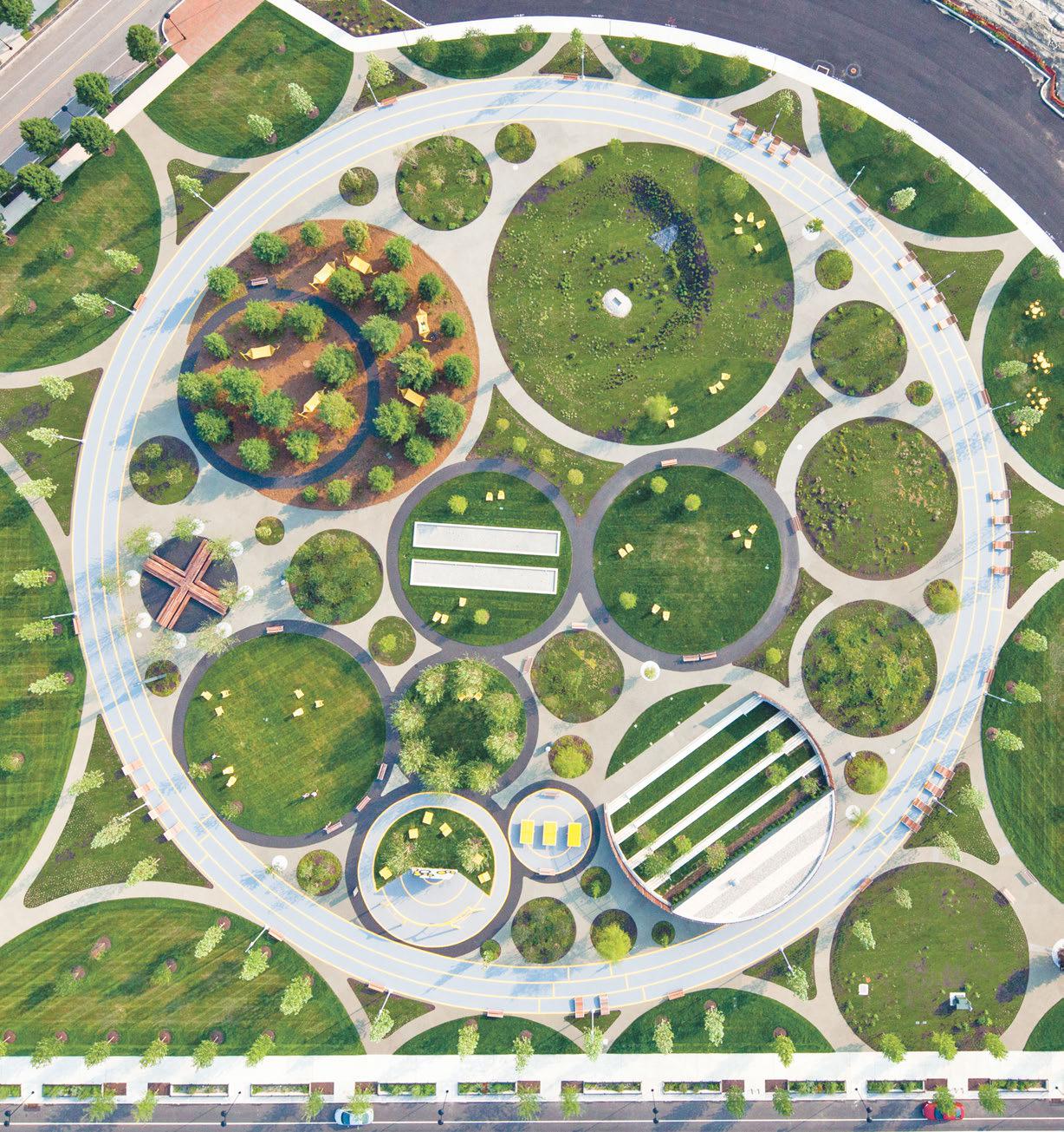
Urban – Landscape Design

STAY TUNED

Projects

...
AIMelaiz Airport flood protection study
...
Flood Mitigation for AdDeriyah Farm
...
Sindalah Island
...
Suez New Logistic Zone
About 1

Who Are We?

With over 35 years of experience, AIEcons excels in civil engineering, specializing in flood protection, storm drainage, groundwater management, marine and coastal works, and water supply systems.

Vision

Establish a leading, innovative organization excelling in a competitive environment, leveraging our team's expertise and skills to serve the community and enhance engineering consultancy standards.

Mission

We excel in planning, designing, and managing water resource projects with a focus on innovation and sustainability, covering hydrological analysis, groundwater modeling, and structural design for effective flood control and environmental protection.

Founders

...
Prof. Abdelmohsen Almongy

Co-Founder

...
Prof. Ahmed Ali Hassan

Co-Founder

...
Prof. Ashraf M. Elmoustafa

Co-Founder & CEO

...
Dr. Ahmed Hany

Co-Founder & Technical Director

News

...
Green Energy Talks

Our Technical Director, Dr. Ahmed Hany, representing AIECon at the SAUDI INFRASTRUCTURE EXPO in Riyadh!

July, 2024

...
Autodesk partnership

Our Technical Director, Dr. Ahmed Hany, representing AIECon at partnership with Autodesk

September, 2024

...
Ramadan Iftar

AIECon and its partners celebrated Ramadan iftar, reflecting on their shared successes and commitment to community impact.

March, 2024

...
Appreciations

AIECon thanks Eng. Hala Abdullah for her exceptional efforts over the past month and appreciates her dedication to the team's success.

October, 2024

Career

Currently, there are no open vacancies, but you can apply here to contact you whenever we're ready

Contact Us

The best way to contact us is to use our contact form below. Our team is always ready to assist you and ensure you receive the support you need.


To reach out to us via email at info@aiecons.com


OR